Skip to the content Skip to the main menu
PEI Postcards

A Collection of PEI Post Cards

  • Home
  • Blog
  • Contact
  • Feature
    • Patriotic
    • Lighthouse
    • First Nations
    • Fox Industry
    • Ferries
    • Greetings
  • Town
    • Alberton
    • Alliston
    • Annandale
    • Aurora, ON
    • Bay Fortune
    • Beaton’s Mills
    • Bedeque
    • Belfast
    • Belle River
    • Belleville, ON
    • Belmont
    • Black Pond
    • Bonshaw
    • Borden
    • Brackley Beach
    • Brae Harbour
    • Breadalbane
    • Brighton
    • Bristol
    • Brudenell Island
    • Bunbury
    • Burlington
    • Cain’s Mill
    • Canada
    • Canoe Cove
    • Cape Bear
    • Cape Egmont
    • Cape Tormentine
    • Cape Traverse
    • Cape Tryon
    • Cape Turner
    • Cardigan
    • Cardigan Bridge
    • Caribou
    • Cascumpec
    • Cavendish
    • Central Bedeque
    • Charlottetown
    • Churchill
    • Clinton
    • Coleman
    • Commercial Cross
    • Cornwall
    • Crapaud
    • Culloden
    • Dalvay
    • Darnley
    • Digby, NS
    • Douse Point
    • Dunk River
    • East Baltic
    • East Point
    • Eldon
    • Ellerslie
    • Elmsdale
    • Emerald Junction
    • England
    • Fortune Bridge
    • Fortune Cove
    • Freeland
    • Freeland Corner
    • French River
    • Gaspe, QC
    • Georgetown
    • Graham Pond
    • Grand Tracadie
    • Halifax, NS
    • Hampton
    • Hampton Beach
    • Haszard Point
    • Henry’s Mill, NS
    • High Bank
    • Holland Cove
    • Hope River
    • Hunter River
    • Huntsville, ON
    • Indian River
    • Isle of Man
    • Kensington
    • Keppoch Shore
    • Kildare
    • Kildare Cape
    • Lake Ontario
    • Land’s End
    • Linkletter
    • Little Sands
    • Liverpool, NS
    • Locke Rd
    • Lot 4
    • Magdalen Islands
    • Malpeque
    • Marshfield
    • Mayfield
    • Mehlem on Rhine
    • Midgell River
    • Mill River
    • Miminegash
    • Miscouche
    • Mont Carmel
    • Montague
    • Montague Bridge
    • Montreal
    • Montrose
    • Montrose River
    • Morrell River
    • Mount Stewart
    • Murray Harbour
    • Murray River
    • Muskoka, ON
    • Naufrage Harbor
    • New Annan
    • New Glasgow
    • New London
    • Newmarket, ON
    • North Cape
    • North River
    • North Rustico
    • North Shore
    • Northumberland Strait
    • O’Leary
    • Orwell Falls
    • Perce, QC
    • Pictou
    • Pinette Bridge
    • Point Prim
    • Pointe du Chene
    • Port Hill
    • Portage
    • Pownal Bay
    • Pownall Bay
    • Prince Edward Island
    • Quebec
    • Rocky Point
    • Rustico
    • Rusticoville
    • Saint John, NB
    • Seacow Head
    • Souris
    • Southport
    • Springfield
    • St Peters
    • St. George’s
    • St. Lawrence River
    • Stanhope
    • Stanley Bridge
    • Sturgeon Mills
    • Summerside
    • Sussex, NB
    • Taylor’s Mills
    • Tea Hill
    • Tignish
    • Tobermory, ON
    • Toronto, ON
    • Traveller’s Rest
    • Tryon
    • Tyne Valley
    • unknown
    • Vernon River
    • Victoria
    • West Devon
    • West River
    • Wheatley River
    • Wilmot River
    • Windsor, N.S.
    • Winsloe
    • Winter River
    • Wood Islands
    • Yarmouth, NS

Entrance to Victoria Park, Charlottetown, P.E.I. (1006)

Condition: 8 – Fine
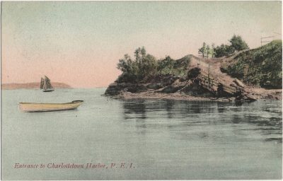
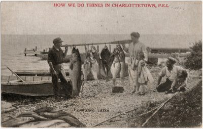
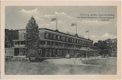
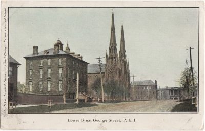
Location: Charlottetown
Photographer: – unknown –
Publisher: Carter & Co.
Series: – none –
Postmark: None
Inscription: 1906 Dear Addie, Wish you all a Merry Xmas and a Happy New Year from Aunt Maggie
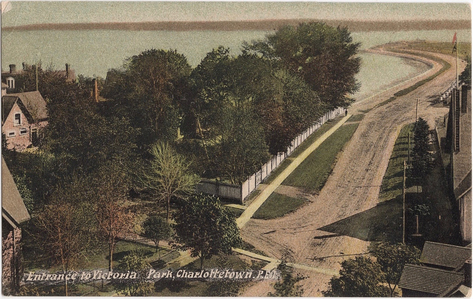
  • Posted in Charlottetown
Previous post: Montague, P.E. Island, from the river. (1001) Next post: Central Street, Summerside, P.E. Island (1007)

Related Posts

, The Charlottetown Hotel, Charlottetown, P.E.I. (1615), PEI Postcards

The Charlottetown Hotel, Charlottetown, P.E.I. (1615)

, Brighton Road, Charlottetown, P.E.I. (1189), PEI Postcards

Brighton Road, Charlottetown, P.E.I. (1189)

, At Beach Grove Inn, Prince Edward Island After a successful morning shoot. (0244), PEI Postcards

At Beach Grove Inn, Prince Edward Island After a successful morning shoot. (0244)

, Parade – Possibly Boer War uniforms. From Harry Holman: These two pics are taken from the east
    side of Prince Street. One is from a spot just south of the corner with Kent Street looking
    south. The other is just south of the corner with Grafton St. Looking north.   The “grasssy
    knoll” in the military parade photo is the NE corner of St. Paul’s church grounds.  The church
    tower and the distinctive shape of the eve of the Sunday School building can be faintly seen on
    the photo facing south.  None of the buildings on the view facing north have survived. The corner
    building was replaced by Zion Presbyterian church about 1911. The three story brick building on
    the north view was a grocery story on the corner of Prince and Kent.  I attach a copy of an
    insurance atlas image ca. 1903 showing this block.   The houses are the same in both photos.  It
    is interesting that the views show the parade both coming and going (if they are the same parade,
    which is questionable).  The military parade route is east on Grafton and then south on Prince.
    The fraternal order parade is heading north on Prince Street. They are both at the same time of
    the year so it could be the same event. Unlikely to be the opening or closing of the legislature
    as the fraternal bodies did not participate.  Lots of other parades however during Jubilee
    celebrations, Boer war events and coronations. See also 3178 (3177), PEI Postcards

Parade – Possibly Boer War uniforms. From Harry Holman: These two pics are taken from the east side of Prince Street. One is from a spot just south of the corner with Kent Street looking south. The other is just south of the corner with Grafton St. Looking north. The “grasssy knoll” in the military parade photo is the NE corner of St. Paul’s church grounds. The church tower and the distinctive shape of the eve of the Sunday School building can be faintly seen on the photo facing south. None of the buildings on the view facing north have survived. The corner building was replaced by Zion Presbyterian church about 1911. The three story brick building on the north view was a grocery story on the corner of Prince and Kent. I attach a copy of an insurance atlas image ca. 1903 showing this block. The houses are the same in both photos. It is interesting that the views show the parade both coming and going (if they are the same parade, which is questionable). The military parade route is east on Grafton and then south on Prince. The fraternal order parade is heading north on Prince Street. They are both at the same time of the year so it could be the same event. Unlikely to be the opening or closing of the legislature as the fraternal bodies did not participate. Lots of other parades however during Jubilee celebrations, Boer war events and coronations. See also 3178 (3177)

© 2021 Phil Culhane