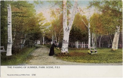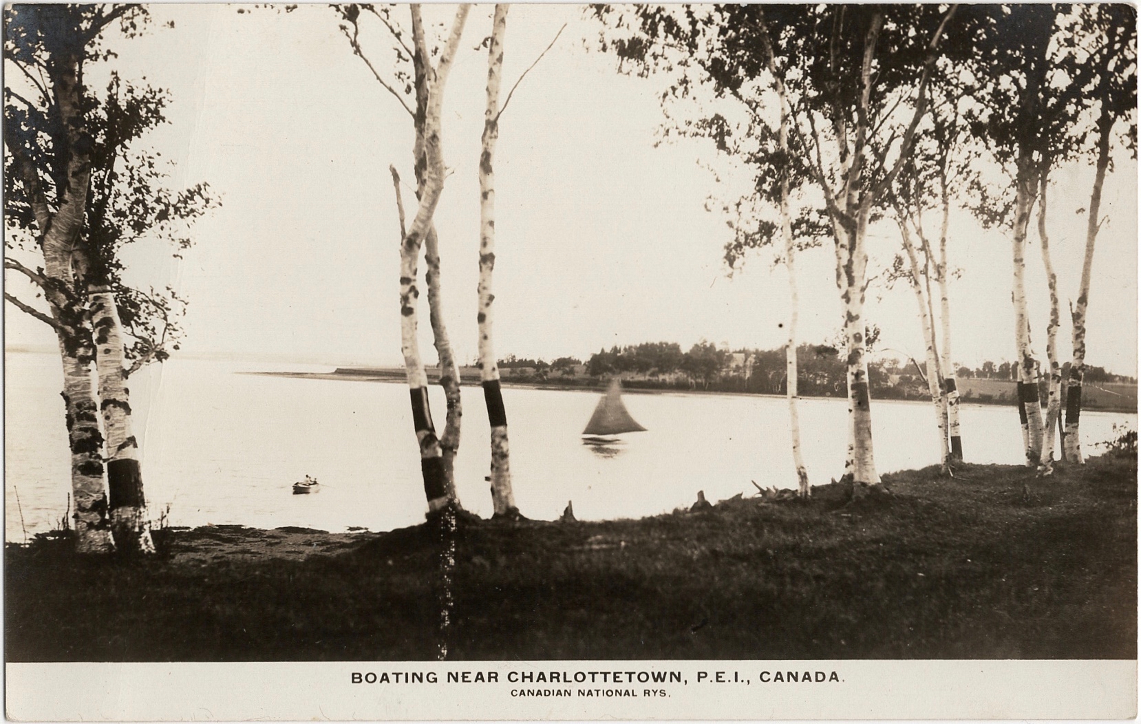
Condition: 8 – Fine
Location: Charlottetown
Photographer: – unknown –
Publisher: Canadian National Railways
Series: – none –
Postmark: None
Inscription: Blank
Boating Near Charlottetown, P.E.I., Canada. (1377)
-
Posted in
A Collection of PEI Post Cards
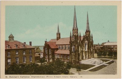
Condition: 8 – Fine
Location: Charlottetown
Photographer: – unknown –
Publisher: Canadian National Railways
Series: – none –
Postmark: None
Inscription: Blank